Grand Tour 2027
Duration: 6 days and 5 nights
Starting at
per person
Duration
14 nights
Level
3 - Moderate - hilly, sometimes mountainous - 50 to 80 km
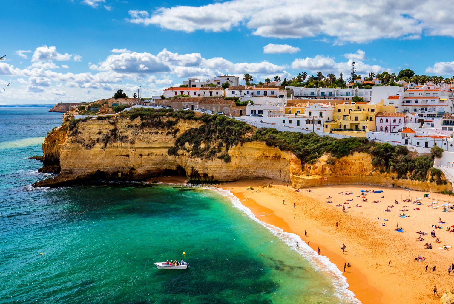
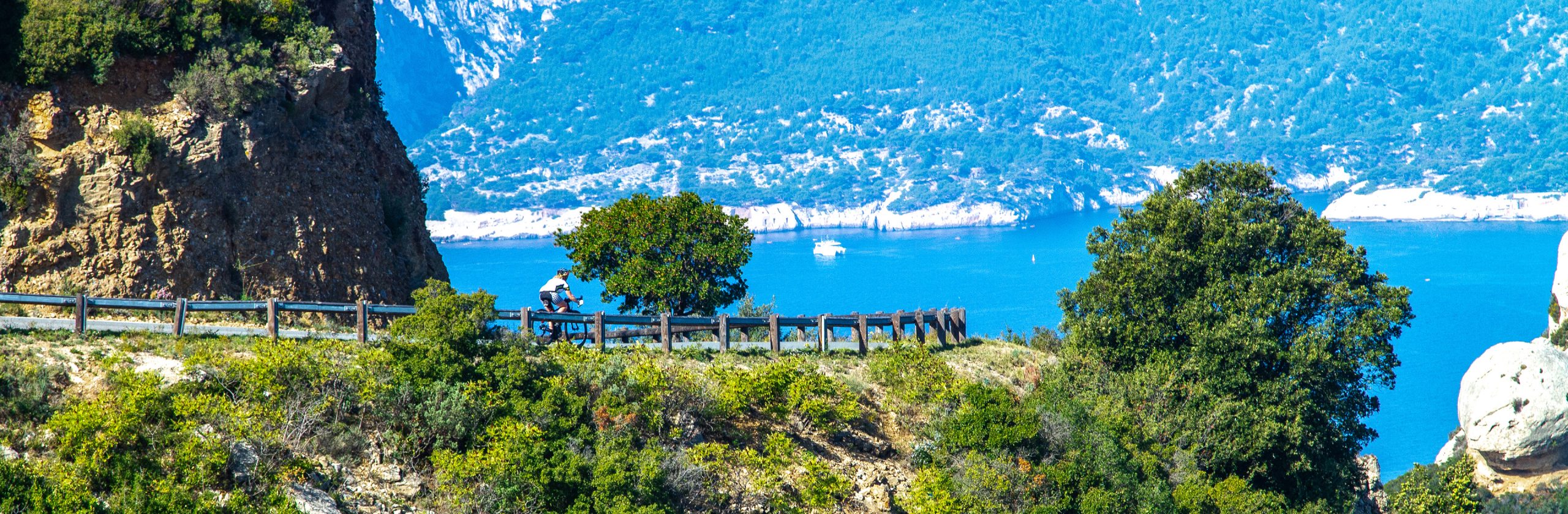
Your journey begins on the west coast in the tranquil Alentejo region, nicknamed “the breadbasket” because of its many golden fields. You’ll ride south through the vast Southwest Alentejo and Costa Vicentina Natural Park, passing through Vila Nova de Milfontes and its popular tourist beach. With its white houses and quiet, narrow streets, the picturesque village of Aljezur welcomes you to the Algarve.
From there, you’ll head down to Sagres, a surfer’s town, and Cape St. Vincent with its 200-meter-high cliffs. On the southern coast, you’ll enter the liveliest part of the Algarve, exemplified by Portimão and one of Portugal’s most famous beaches, Praia da Rocha. You’ll round out this sun-filled trip in the Vale do Guadiana Natural Park, then head to São Domingos and its ancient, majestic open-pit mine. You’ll see why this coast is so popular!
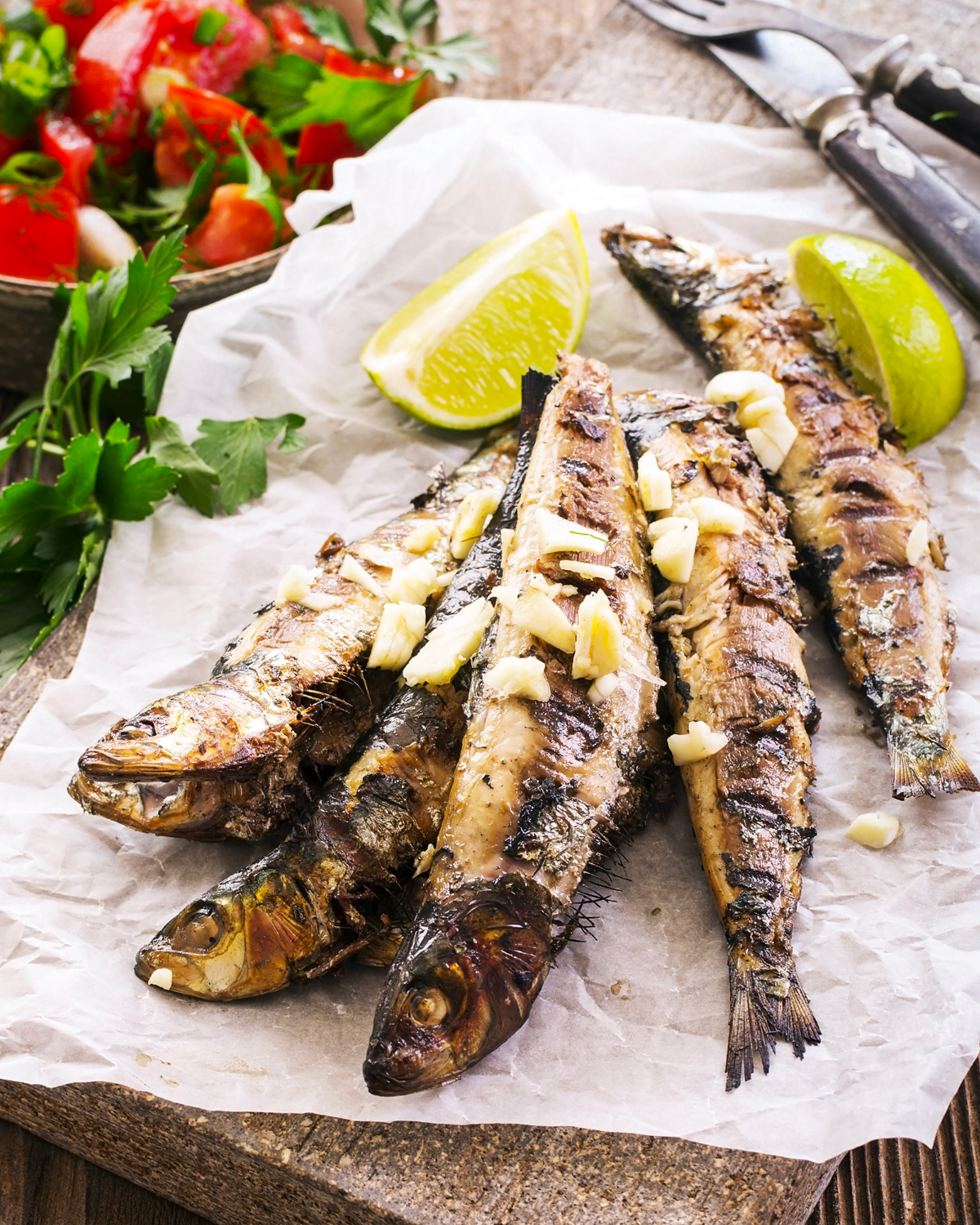
The Algarve, a cyclist's paradise: read Jacques Sennéchael's article.

air transportation of the passenger, their luggage, and their bicycle on Air Transat;

transportation between the airport and the hotel at the destination, both on the way there and back;
the bus transfer scheduled for Day 14;

14 nights in a three- or four-star hotel, based on double occupancy;

14 breakfasts and 4 dinners;
air transportation of the passenger, their luggage, and their bicycle on Air Transat;
transportation between the airport and the hotel at the destination, both on the way there and back;
the bus transfer scheduled for Day 14;
14 nights in a three- or four-star hotel, based on double occupancy;
14 breakfasts and 4 dinners;
equipment, such as a bicycle
protection under the Travel Agent Customer Compensation Fund (FICAV), which amounts to $1 per $1,000 and the applicable discount.
equipment, such as a bicycle
protection under the Travel Agent Customer Compensation Fund (FICAV), which amounts to $1 per $1,000 and the applicable discount.

Montreal-Trudeau/Lisbon

Lisbon/Montreal-Trudeau

For groups of 12 or more cyclists, accompanied by our guide.

Route rating: 3+
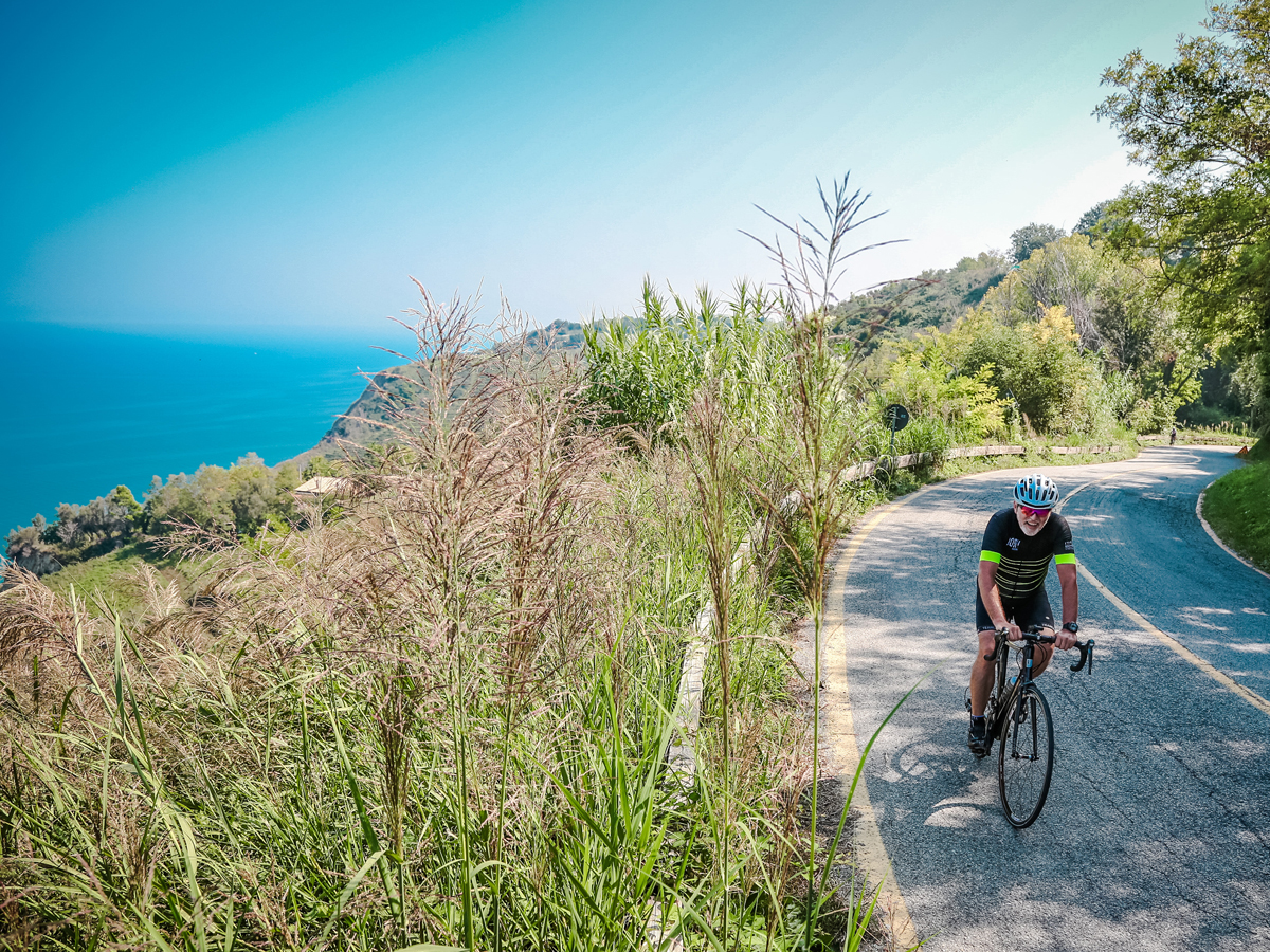
Moderately difficult route: hilly, sometimes mountainous; 50 to 80 km.

Bike rentals available: hybrid, road, electric-assist, and electric gravel bikes
Montreal-Trudeau/Lisbon
Lisbon/Montreal-Trudeau
For groups of 12 or more cyclists, accompanied by our guide.
Route rating: 3+
Moderately difficult route: hilly, sometimes mountainous; 50 to 80 km.
Bike rentals available: hybrid, road, electric-assist, and electric gravel bikes
Day 1
Arrival in Lisbon and transfer to Setúbal (1 hour).
Day 2
A day off or a loop hike in the Arrábida Natural Park (35 km).
Day 3
Setúbal, ferry to Sol Tróia, Comporta, Melides, Deixa-o-Resto, Santiago de Cacém (61 to 89 km).
Day 4
Santiago de Cacém, Sonega, Porto Cãovo, Vila Nova de Milfontes (66 km).
Day 5
A day off or a loop route via Cercal, Colos, Relíquias, and São Luís (41 to 79 km).
Day 6
Vila Nova de Milfontes, Cavaleiro, Zambujeira do Mar, Odeceixe, Rogil, Aljezur (65 to 73 km).
Day 7
A day off, or a loop via Praia da Arrifana (29 km) or via Marmelete (48 to 70 km).
Day 8
Aljezur, Espihaco de Cão, Bensafrim, Barão de São João, Luz, Lagos. Alternative route via Barragem da Bravura, Praia da Luz. (55 to 64 km).
Day 9
Lagos, Meia, Odiáxere, Cotifo, Arão, Mexilhoeira, Portimão. Alternative route via Montes de Cima (46 to 58 km).
Day 10
A rest day or a loop route via Montes de Cima, Monchique, Alferce, and Porto de Lagos (55 to 76 km).
Day 11
Portimão, Lagoa, Algóz, Tunes, Paderne, Vale de Judeu, Almancil, Faro (82 km).
Day 12
Faro, Quelfes, Moncarapacho, Fundo, Pedras d’el Rei, Santa Luzia, Tavira, Vila Nova de Cacela, São Bartolomeu, Monte Gordo (67 km).
Day 13
Monte Gordo, São Bartolomeu, Monte Francisco, Junqueira, Azinhal, Alcaria, Guerreiros do Rio, Alcoutim, Cortes Pereiras, Espírito Santo, Mértola (84 km).
Day 14
Transfer from Mértola to Lisbon (3 hours).
Day 15
Transfer to the Lisbon airport and return to Montreal.
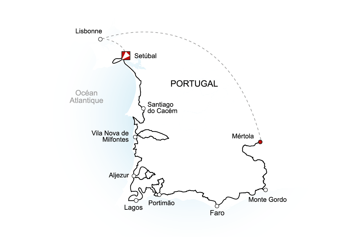

Check out the elevation changes along this route and plan your upcoming trip with all the information you need. Please note that the elevation changes are provided for informational purposes only and may not always reflect actual conditions on the ground.
Want to learn more? Fill out the form below. An advisor will contact you as soon as possible.