





From the Provence of the Popes to the Luberon – Self-guided
Duration: 8 days and 7 nights
Starting at
per person
Duration
2 nights
Level
2 - Easy - hilly - 40 to 70 km
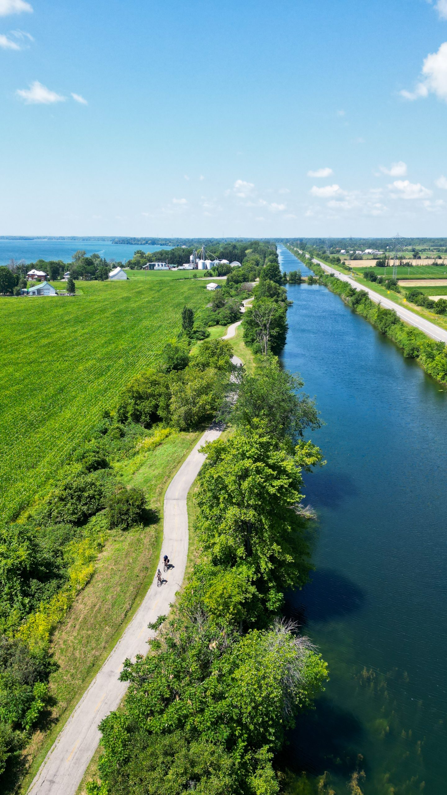
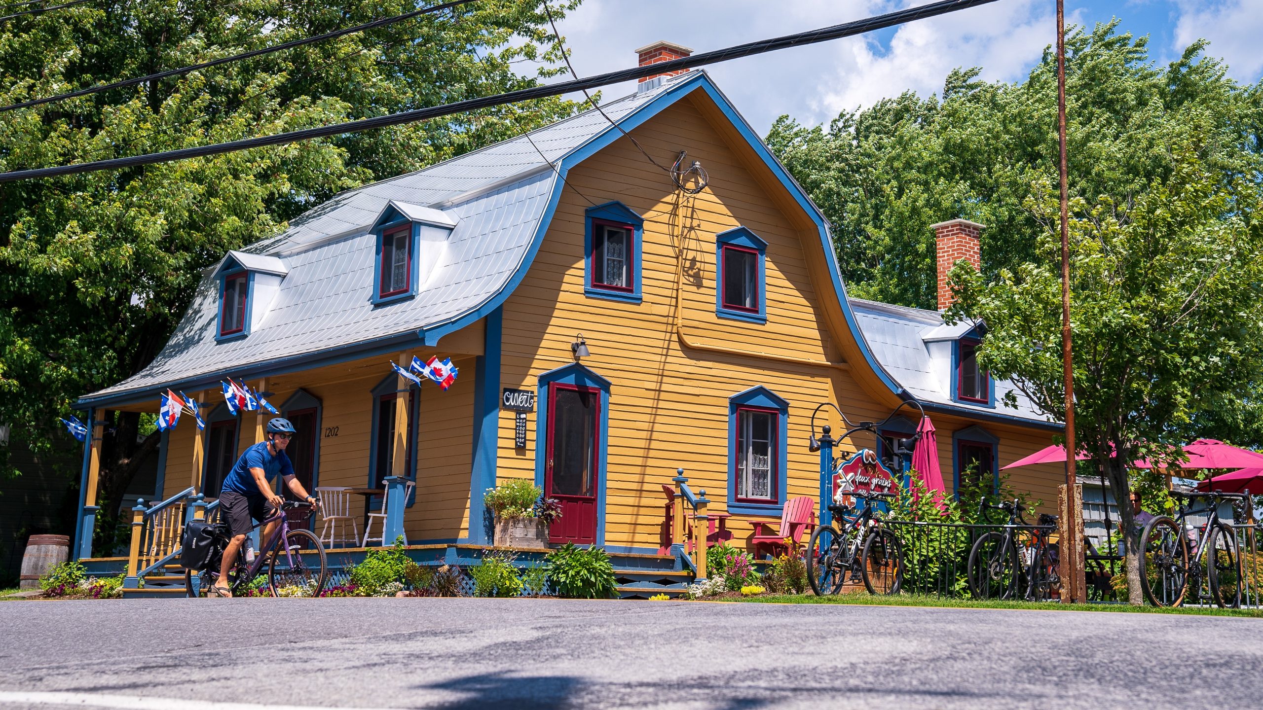
Cruise along the roads that wind past the many bodies of water lining this part of the Montérégie region, explore the rolling hills of Mont Rigaud, discover the beauty of Lake Saint-François, and cycle along the magnificent bike paths bordering the Soulanges Canal and the Beauharnois Canal, as well as the Beauharnois-Salaberry Regional Park. Along the way, you’ll discover the charming villages, shops, and attractions of this region.

With the Self-guided option, enjoy your trip at your own pace and on your own terms. We’ll provide you with the itinerary and book your accommodations—the rest is up to you!
2 nights in a hostel and hotel, double occupancy;
2 breakfasts;
luggage transport between each stopover (one bag per person, maximum 15 kg);
GPX data, maps, and daily itineraries in electronic format;
Not included: transportation of the passenger, their luggage, and their bicycle to the starting point; the Les Cèdres river shuttle (available only on Saturdays and Sundays); equipment, such as bicycles; the services of a guide; mechanical assistance and access to a support vehicle; and costs incurred in the event of mechanical or physical issues.
2 nights in a hostel and hotel, double occupancy;
2 breakfasts;
luggage transport between each stopover (one bag per person, maximum 15 kg);
GPX data, maps, and daily itineraries in electronic format;
Not included: transportation of the passenger, their luggage, and their bicycle to the starting point; the Les Cèdres river shuttle (available only on Saturdays and Sundays); equipment, such as bicycles; the services of a guide; mechanical assistance and access to a support vehicle; and costs incurred in the event of mechanical or physical issues.
Salaberry-de-Valleyfield
Route rating: 2
A fairly easy route: features a few small valleys; 40 to 70 km.
Salaberry-de-Valleyfield
Route rating: 2
A fairly easy route: features a few small valleys; 40 to 70 km.
Check out the elevation changes along this route and plan your upcoming trip with all the information you need. Please note that the elevation changes are provided for informational purposes only and may not always reflect actual conditions on the ground.
Day 1
Departure from Salaberry-de-Valleyfield.
Salaberry-de-Valleyfield, Coteau-du-Lac, Pointe-des-Cascades, Vaudreuil-Dorion, Hudson, Sainte-Marthe (75 to 76 km).
Day 2
Sainte-Marthe, Sainte-Justine-de-Newton, Saint-Polycarpe, Les Coteaux, Coteau-du-Lac, Salaberry-de-Valleyfield (58 km).
Day 3
Salaberry-de-Valleyfield, Melocheville, Saint-Timothée Loop (49 km) via Beauharnois-Salaberry Regional Park.
The end of the journey.
Want to learn more? Fill out the form below. An advisor will contact you as soon as possible.