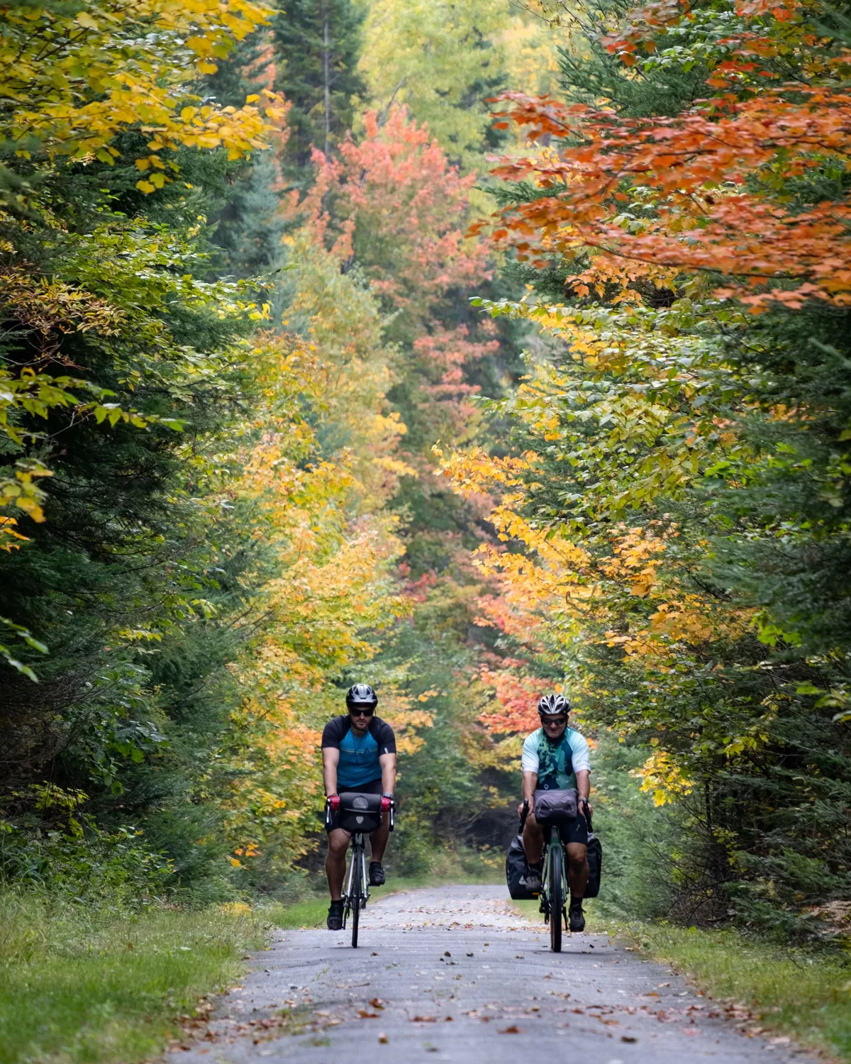
Escapade au cœur des Laurentides
La magnifique région des Laurentides offre un précieux équilibre entre nature, activités sportives, loisirs et culture. Votre escapade débute à Sainte-Agathe-des-Monts, reconnue pour son centre-ville patrimonial près des berges du lac des Sables.
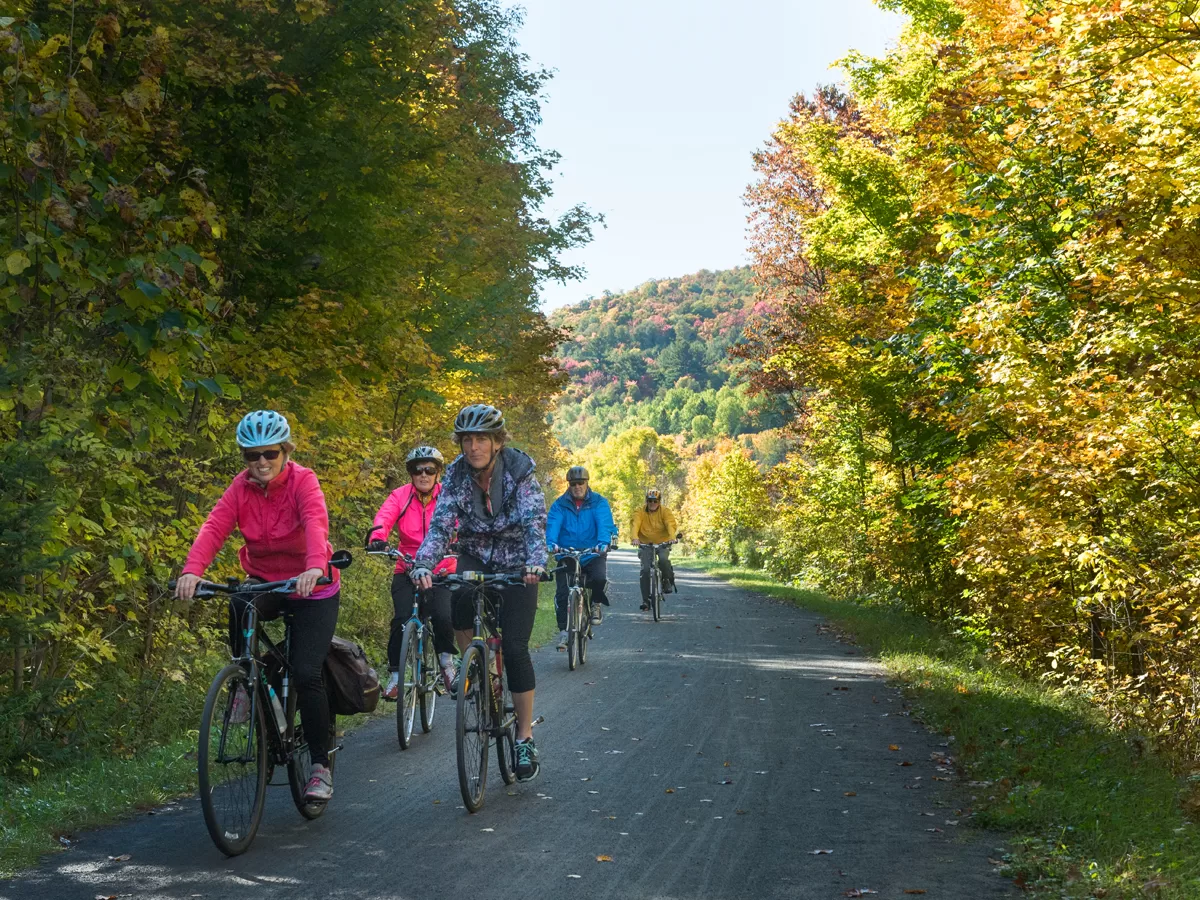
Puis, vous traversez les paysages verdoyants de Sainte-Marguerite-du-Lac-Masson et Val-David pour arriver, à proximité du lac Mercier et du parc national qui porte son nom, au vieux village de Mont-Tremblant.
Profitez ensuite des panoramas offerts par Brébeuf, Huberdeau et Arundel, avant de découvrir le charme de Saint-Jovite, avec ses restaurants, ses cafés et sa rue principale bordée de demeures anciennes. Une escapade unique au cœur d’un joyau touristique!